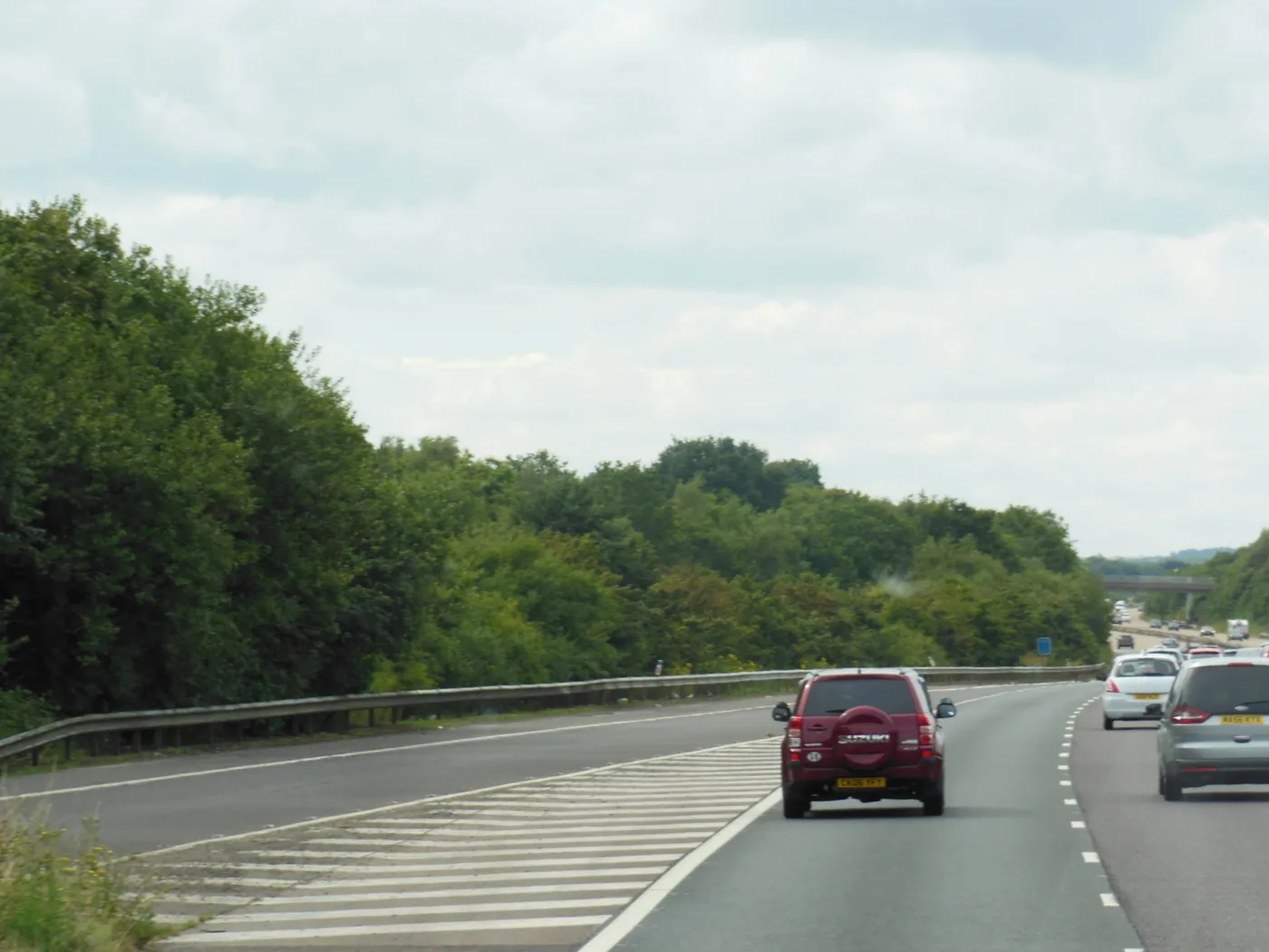

Junction 9 loses both eastbound slips on Monday night and both westbound slips on Thursday, 20:00 to 05:00. Romden Road at Smarden stays shut to 26 September.
Junction 9, the junction most Ashford drivers mean when they say “the Ashford junction”, is taken out in one direction on two separate nights next week. Both eastbound slips close on Monday 21 September. Both westbound slips close on Thursday 24 September. Each night runs 20:00 to 05:00.
Nothing is booked at any Ashford junction tonight or tomorrow night. The heavy nights are Monday and Thursday.
Every date below was checked on 19 September 2026 against the source linked beside it.
Junction 9 closes, one direction at a time
Junction 9 has no partial version. When National Highways closes an exit slip and an entry slip in the same direction on the same night, that direction of the junction is simply gone until 05:00.
- Monday 21 September, 20:00 to 05:00: the eastbound exit slip and the eastbound entry slip at junction 9 both close. You cannot leave the coast-bound M20 at Ashford, and you cannot join it. The scheme is maintenance between junctions 8 and 10.
- Thursday 24 September, 20:00 to 05:00: the westbound exit slip and the westbound entry slip both close. Same effect in the other direction, on the London-bound side. The scheme is maintenance between junction 10a and junction 9.
The alternative on both nights is junction 10, one along, which feeds the A2070 and the A292 ring road, or junction 10a at Sevington (National Highways seven-day road closure report, Friday 18 to Thursday 24 September 2026).
Thursday also takes a slip off the A2070
Thursday night is the awkward one, because the alternative route is being worked on as well. The A2070 westbound exit slip at the Cloverleaf junction closes from 20:00 on Thursday 24 September to 06:00 on Friday. The Cloverleaf is the A2070’s junction with the A2042 at South Willesborough, and the scheme runs westbound from Church Lane to the Cloverleaf.
So on Thursday you lose junction 9 westbound and one of the A2070’s own exits on the same night.
The other two nights are lighter
- Tuesday 22 September, 20:00 to 05:00: the westbound exit slip at junction 10a closes, for maintenance. Junction 10a is the Sevington and Orbital Park junction.
- Wednesday 23 September, 20:00 to 06:00: the eastbound exit slip at junction 11 closes. Junction 11 is the next one east, for Westenhanger and Hythe, so this affects the run to the coast rather than anything in the town.
No carriageway closures, and the Maidstone end is still clear
Last week took five nights running, two of them full carriageway closures. This week takes four, all of them slip roads. The survey job that closed the westbound carriageway between junction 10a and junction 9 ran its last night on Friday 18 September and is not booked again.
The junction 7 to junction 9 overnight closures, which ran on and off from late August, are booked on no night of this report either. The report lists still-running closures on every applicable day, so an absence is evidence of reopening rather than an omission.
That does not mean the job is finished. The order behind it, ref NH/SE/2026/M20/64, came into force on 22 August with a maximum duration of eighteen months, so the nights can return. Its 24-hour mandatory 50mph limit either side of junction 8, near Leeds Castle, stands while the order does, and a mandatory temporary limit is enforceable exactly like a permanent one (National Highways notice, published 13 August 2026).
Operation Brock is out. National Highways’ status page read “M20 is open” when checked on 19 September 2026 (National Highways: Operation Brock).
Park Street has reopened
The Park Street closure for demolition work, which ran with no diversion route from 14 September, was ordered to 18 September. That was yesterday, and Kent County Council has published nothing extending it (Kent County Council notice, dated 11 September 2026).
The Littlebrook Road footpath, shut between 13 Repton Manor Road and 15 Littlebrook Road for cable installation, is ordered to Sunday 20 September, so it has one more day to run (Kent County Council notice, dated 4 September 2026).
Closed right now on local roads
Two Kent County Council closures are live in the borough this weekend.
- Romden Road, Smarden, closed from the Dorking Lane junction to 20m past the cottage, since 14 September and ordered until Saturday 26 September, for drainage works. The diversion runs via Pluckley Road, The Street, Cage Lane and Bethersden Road. This is the longest closure on local roads in the borough at the moment.
- Mystole Lane, about 10m south east of the Chilham Road level crossing, 18 to 21 September, 08:00 to 17:00, for pole and cabling. Chilham is in Canterbury district, about six miles north east of Ashford, but Kent County Council files it in the Ashford batch and the diversion runs via the A28 Canterbury Road.
Four closures start on Monday that have never been confirmed
This is worth saying plainly. Four closures are advertised to begin on Monday 21 September or in the days after, and all four are still at the “intends to make” stage. They were advertised in the notice dated 4 September, and Kent County Council has published nothing since that confirms them.
- High Street, Wye, near The Green junction, 21 to 23 September, for new connection works. Through traffic via High Street, Upper Bridge Street, Bridge Street and Church Street. That is the village centre, so it is the one Wye will notice.
- Tile Lodge Road, Charing, from the railway bridge to 30m past the pond, 21 September to 2 October, for drainage works. Diversion via Charing Heath Road, Maidstone Road, Ashford Road, Station Road, Pluckley Road and Egerton Road.
- Acton Lane, Wittersham, outside Rushgreen Cottage, 21 to 23 September, for a water pipe repair.
- Bilting Lane, Godmersham, from the A28 Canterbury Road junction for about 225m, 25 September, one day, 09:30 to 15:30.
The council’s own roadworks page is a link to a live map that would settle it, and that map was returning a server error when checked on 19 September, so we could not confirm the four either way today. Treat the dates as advertised rather than certain.
Kingsnorth: under three weeks of the 30mph left
The longest job in the borough is still the one at Kingsnorth. Kent County Council ordered works on Ashford Road, Magpie Hall Road and Steeds Lane in phases from 24 August, with estimated completion by 8 October 2026, and nothing published since has moved that date (Kent County Council notice, dated 21 August 2026).
The closure itself was billed at about a week. What is left is temporary lights, plus a temporary mandatory 30mph limit running from Smithfield Farm on Magpie Hall Road to Taylor Farm on Steeds Lane, and from St Helens to Alfred Road on Ashford Road. That is the part that lasts, and it has under three weeks to run.
New in the diary: the last week of September
Five closures are advertised to start on 28 September or in the first days of October, all at the “intends to make” stage in the notice dated 11 September:
- Cheesemans Green Lane, Kingsnorth, closed 30m either side of the culvert, 28 September to 3 October, for drainage works. Diversion via Church Road, Bad Munstereifel Road and the A2070, then back through Violet Way, Finn Farm Road and Rutledge Avenue.
- B2067 Bonnington Road, Bilsington, opposite Gorsedown Farm, 28 and 29 September, 09:30 to 15:30, for pole and cabling works. Both diversions are long ones out to the A2070.
- Bedlam Lane, Egerton, opposite Myrtle Cottages, 28 and 29 September, 08:00 to 17:00, for pole and cabling works.
- Branch Road, Chilham, near Harvest House, 28 September to 5 October, for gas works. Chilham is in Canterbury district, about six miles north east of Ashford.
- Church Road, Stone, from the Top Road junction north for about 80m, 1 October, one day, for overhead cabling. Diversion via Top Road, Catts Hill and The Street.
Sevington yellow lines: sixteen days left to object
Kent County Council is proposing Amendment No.7 to the borough’s waiting restrictions consolidation order. It would put double yellow lines, meaning no waiting at any time, on two roads in Sevington:
- Church Road, south side, from the Kingfisher Close junction for 100 metres easterly then westerly
- Church Road, north side, from the Kingfisher Close junction for 9 metres westerly
- Kingfisher Close, west side, from the Church Road junction for 9 metres northerly
- Kingfisher Close, east side, from the Church Road junction for 4 metres northerly
Objections and letters of support close at 12 noon on Monday 5 October 2026, so there are sixteen days left. The council says an objection “must explain the impact on traffic in the locality to be valid”. Plans have been online since 11 September at kent.gov.uk/highwaysconsultations, and written representations go to the Senior Parking and Traffic Regulation Officer, Traffic Management Team, Kroner House, Eurogate Business Park, Ashford TN24 8XU, or to tro@kent.gov.uk (Kent County Council notice, dated 11 September 2026).
That is worth stressing, because the last one was not usable. The notice published on 27 August for Amendment No.6, double yellow lines on Church Hill at Kingsnorth, asked for representations “by 12 noon Monday 21 August 2026”, a date that had already gone when the notice appeared. The Sevington deadline is a real one.
What it means for you
Monday and Thursday are the nights to plan around, and they hit opposite directions.
- Monday night, if you are driving out of Ashford towards Folkestone or Dover after 20:00, or coming back into town off the coast-bound carriageway, junction 9 will not take you. Use junction 10 for the ring road and the station side of town, or junction 10a for Sevington and Orbital Park.
- Thursday night, the same applies in reverse, on the London-bound side. Coming home from Maidstone or the M25 after 20:00, junction 9 is shut, so carry on to junction 10. Going out towards London, you cannot join at junction 9 either.
- Thursday night also costs you the A2070 westbound exit at the Cloverleaf, at South Willesborough, so the usual fallback is partly out too.
- Tuesday night, if you come off westbound at junction 10a for Sevington, that exit is shut. Junction 10 is the alternative.
- If you live at Smarden, Romden Road stays shut until Saturday 26 September.
- If you live at Kingsnorth, the mandatory 30mph is the part that lasts, and it stands until the works finish in October.
- If you live at Wye, Charing or Wittersham, expect signs on Monday, but the orders behind those closures have not been confirmed, so check before you rely on the dates.
- If you park on Church Road or Kingfisher Close at Sevington, you have until noon on 5 October to say what the yellow lines would do to you.
How to check before you set off
- National Highways road closure report is the seven-day list of what is booked on the M20, M2, A2, A20 and A2070, night by night. It is republished daily and it is more accurate than the traffic orders, which only grant permission. Nights get added mid-week, so check it again the day you travel.
- National Highways: Operation Brock says whether the contraflow barrier is in or out.
- Public Notice Portal carries Kent County Council’s temporary traffic orders in full, with the diversion routes, usually a week or two before the signs go up. Ashford’s district orders and the Kent-wide parking orders are published as two separate notices.
- Kent County Council roadworks links to the live map of the local network.
Council notices always carry the phrase “or until the works have been completed”, so completion dates are estimates rather than promises. The council also marks each order either “has made”, meaning it is confirmed, or “intends to make”, meaning it is still a proposal.
Which junction you actually want
Ashford has four M20 junctions serving one town, and using the wrong one costs you ten minutes on the ring road.
- Junction 9 is the one most people mean by “the Ashford junction”. It feeds the A20 and the A28 for the north of the town, Kennington, Willesborough and the town centre.
- Junction 10 puts you on the A2070 and the A292 for the ring road, the station and the Designer Outlet. If you are shopping or catching a train, this is usually quicker than junction 9.
- Junction 10a is the newer southern junction, for Sevington, Orbital Park, Waterbrook and the roads down towards Romney Marsh.
- Junction 11 is past the town, for Westenhanger, Hythe and the coast.
Getting in without driving
- By train, Ashford International has 616 parking spaces and step-free access to all platforms, so park-and-ride-by-rail from the villages works. Times and season prices are in our Ashford trains to London page.
- On foot, the station, the town centre and the Designer Outlet sit within about a mile of each other.
- By bus, the station forecourt doubles as the town’s main bus interchange, so connections from Kennington, Park Farm and Tenterden all land in the same place.
More local information: Ashford planning news, parking in Ashford and house prices in Ashford.
Sources
- National Highways seven-day road closure report, Friday 18 to Thursday 24 September 2026, checked 19 September 2026, for the junction 9 eastbound slip closures on 21 September and westbound on 24 September, the junction 10a westbound exit slip on 22 September, the junction 11 eastbound exit slip on 23 September, the A2070 Cloverleaf exit slip on 24 September, the absence of any closure at Ashford’s junctions on 19 and 20 September, the last night of the junction 10a to junction 9 survey on 18 September, and the absence of any junction 7 to junction 9 closure this week.
- National Highways, M20 junctions 7 to 9 temporary traffic restrictions, ref NH/SE/2026/M20/64, published 13 August 2026 for the 50mph limit near Leeds Castle, the 22 August start and the eighteen-month maximum.
- National Highways: Operation Brock for the current M20 status, checked 19 September 2026.
- Kent County Council, multiple temporary traffic regulation notices, dated 11 September 2026 for the Park Street order ending 18 September, the Romden Road and Mystole Lane closures, and for Cheesemans Green Lane, Bonnington Road, Bedlam Lane, Branch Road and Church Road at Stone as proposals. This is the most recent Kent County Council notice for the Ashford area; none has been published since, as checked on 19 September 2026.
- Kent County Council, various roads, Borough of Ashford, waiting restrictions and street parking places, Amendment No.7, dated 11 September 2026 for the proposed Sevington double yellow lines, the objection route and the 5 October deadline.
- Kent County Council, multiple temporary traffic regulation notices, dated 4 September 2026 for the Littlebrook Road footpath closure to 20 September, and for the unconfirmed proposals at Wye High Street, Tile Lodge Road, Acton Lane and Bilting Lane.
- Kent County Council, multiple temporary traffic regulation notices, dated 21 August 2026 for the Kingsnorth works, the temporary mandatory 30mph limit and the 8 October 2026 completion estimate.
- Kent County Council, various roads, Borough of Ashford, waiting restrictions and street parking places, Amendments No.5 and No.6, dated 28 August 2026 for the Amendment No.6 representation date that had already passed.
- Planned roadworks in Kent and Sussex, weekly summary, National Highways on GOV.UK for the Cloverleaf junction being the A2070’s junction with the A2042 at South Willesborough.
- National Rail: Ashford International station for the 616 parking spaces and step-free access.
Have your say